| |
 |
|
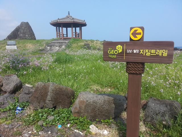
| The Geo Trail is well signposted throughout. Photo by The Jeju Weekly |
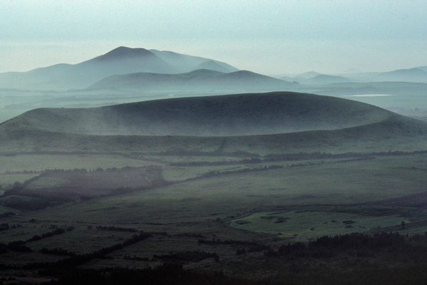
Jeju Tourism Organization (JTO) opened Jeju's third Geotrail in October last year and it runs in a loop from Gimnyeong-ri to Woljeong-ri and back. The route was selected for its geologically noteworthy agricultural, fishing, and folk cultures.
The Geotrails are part of the "UNESCO World Geopark core village revitalization project” and supported by the Ministry for Food, Agriculture, Forestry and Livestock. Jeju has 12 Geopark sites (read more about the Geopark here) and each attempts to link geological history with local culture through events such as Geo Talks and product development such as Geo Foods.
| |
 |
|
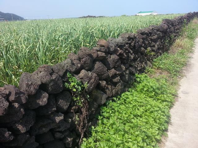
| A "Batdam-gil" or stonewall path runs through the Geo Trail between Gimnyeong and Woljeong. Photo by |
The Gimnyeong and Woljeong Geotrails is a 14.6km course which includes an impressive mixture of local caves, beaches, religious sites and the Jeju stonewalls ("batdam") that were registered last year as Globally Important Agricultural Heritage Systems (GIAHS) by UN FAO.
The walk starts at Gimnyeong Eoullim Center and takes around 5 hours to complete. English booklets introducing the trail are available at the Center or you can use the English website here.
Please check back with The Jeju Weekly soon for a full review of the trail.
| |
 |
|
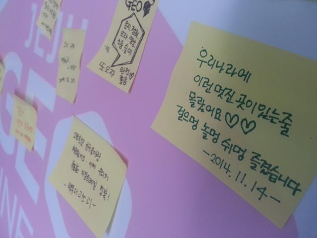
| A Korean visitor leaves a note saying they never knew there was such a beautiful place in the country. Photo by The Jeju Weekly |
| |
 |
|
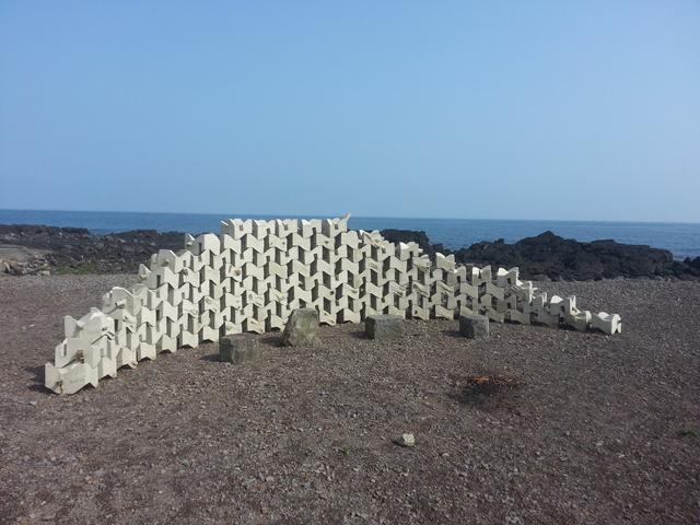
| One of the public works of art that can be found around Gimnyeong as part of Nature+Media Annuale. Photo by The Jeju Weekly |
| |
 |
|
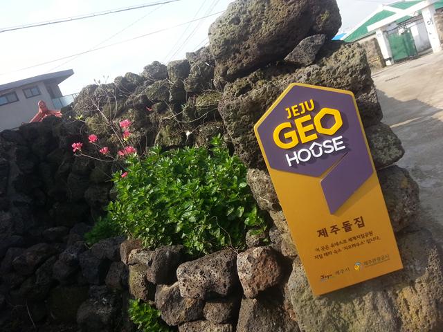
| Partners of Jeju Geopark provide accommodation along the course, known as Jeju Geo Houses. Photo by The Jeju Weekly |
| |
 |
|
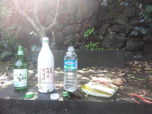
| Offerings are left for the goddess at Gimnyeong Bonhyangdang, a shamanic shrine. Photo by The Jeju Weekly |
| |
 |
|
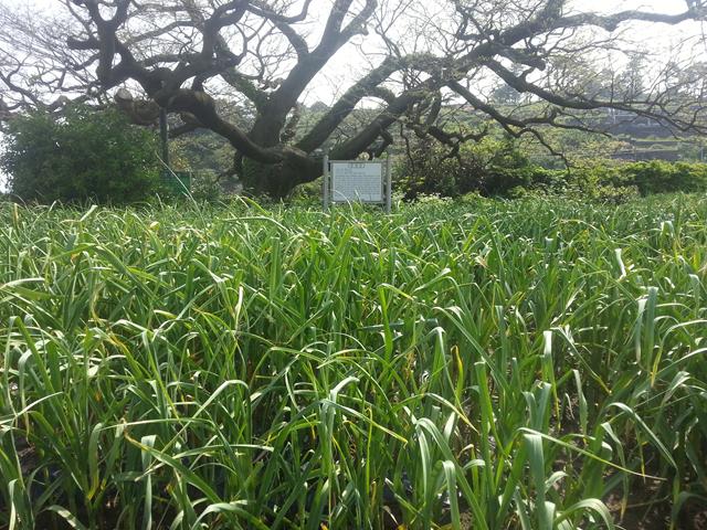
| A shrine lies in a farmer's field, marked by the ancient sacred tree. Photo by The Jeju Weekly |
| |
 |
|
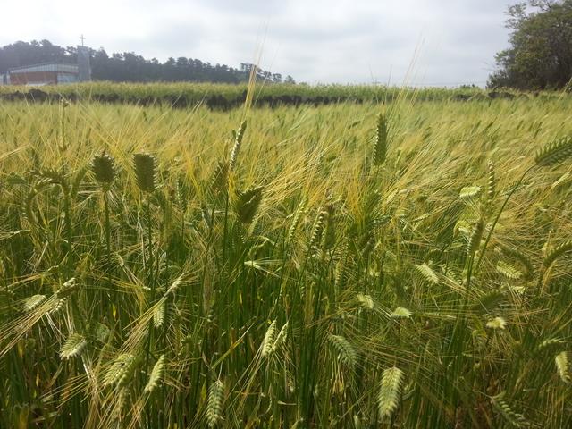
| The barley in the fields was just turning from green to golden. Photo by The Jeju Weekly |
| |
 |
|
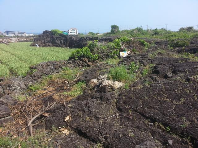
| A farmer toils below a Geo Trail signboard which informs walkers about the extremely harsh soils in the region. Photo by The Jeju Weekly |
| |
 |
|
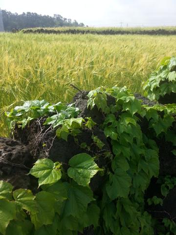
| More of the barley fields and stonewalls. Photo by The Jeju Weekly |
| |
 |
|
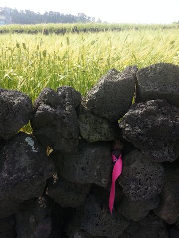
| Many of the walls have the Geo Trail ribbons attached to guide walkers. Photo by The Jeju Weekly |
| |
 |
|
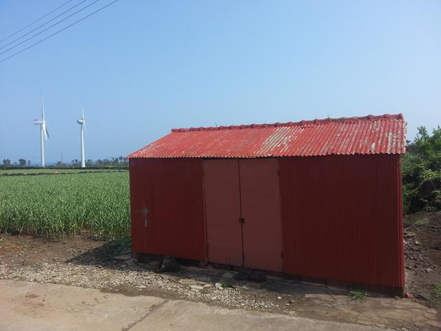
| A brightly painted farmer's shed with wind turbines in the background. Photo by The Jeju Weekly |
| |
 |
|
| The Geo Trail allows walkers to see how Jeju's nature continues to shape its destiny with wind turbines dotted between stonewalls. Photo by The Jeju Weekly |
| |
 |
|
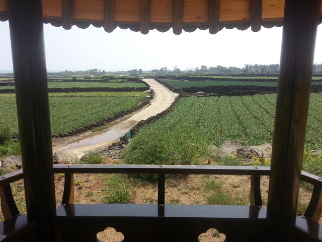
| A pavilion looks down upon the "batdam-gil" (stonewall path) as it descends into Woljeong-ri. Photo by The Jeju Weekly |
| |
 |
|
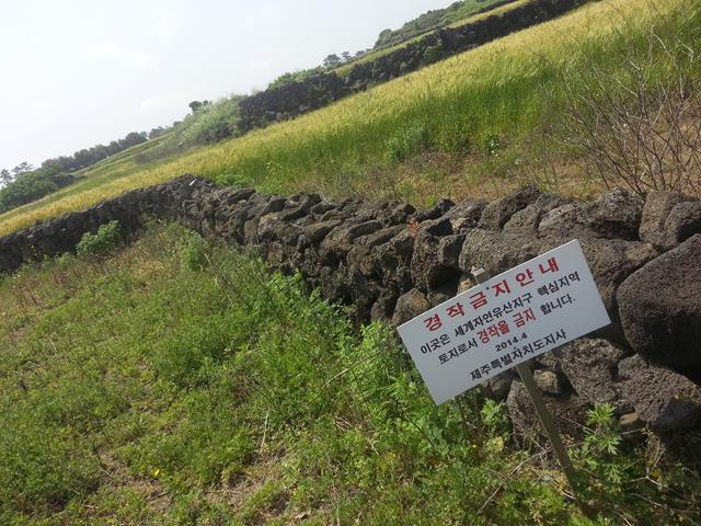
| Cultivation on this land is restricted due to the unique caves such as Yongcheongul which run underneath with unique species such as blind fish. Photo by The Jeju Weekly |
| |
 |
|
| A shrine to the sea goddess is still used by the local haenyeo who can just be seen in the sea beyond. Photo by The Jeju Weekly |
| |
 |
|
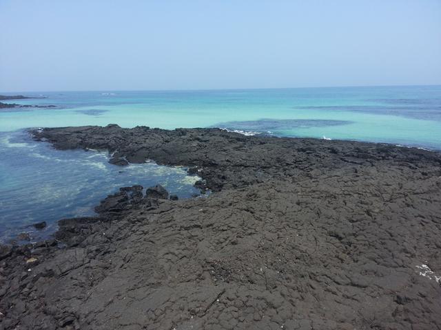
| Jeju's bille lava can be imagined flowing out to the sea as it did hundreds of thousands of years ago. Photo by The Jeju Weekly |
| |
 |
|
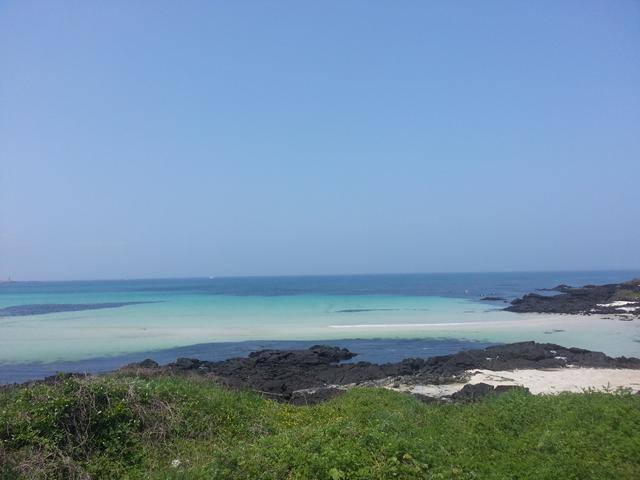
| The end of the walk takes walkers along the torquoise seas of the northeast. Photo by The Jeju Weekly |
|