|
Jeju Special Self-Governing Province has produced a Jeju ecotourism map that will help travelers better appreciate the island’s nature. Jeju Ecotourism Support Center was in charge of the general management and production of the map, titled “The Map for Standing Under a Street Tree, the Map for Walking Forest Trails for Ecotourism in Jeju.”
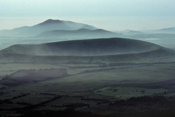
The ecotourism map includes information on the status of ecotourism certification sites (villages, programs, and accommodations) piloted last year, recreational forests, forest trails, Ramsar wetlands, tree-lined streets, and tree species.
On the back of the map, various programs operated by ecotourism villages were introduced, along with tree-shaped icons, details about trees, and ecotourism guides for traveling in nature.
Information on street trees was created based on field surveys and document resources collected by participating local residents and plant experts through the “Promote Trees in Our Neighborhood Campaign.”
The map is made of stone paper (mineral paper) with water resistance and is folded into an N shape to make it easier to carry. In total, 300 copies are printed will be distributed through the Jeju Ecotourism Association.
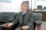
CEO Go Je-ryang of Jeju Ecotourism Association who supervised the map production said, “Aside from the wild nature of Jeju, we wanted to inform the value of trees and street trees that form our urban environment and share knowledge for better appreciating Jeju’s unique ecology.”
The Ecotourism Support Center will produce an online map in the future to promote detailed information on ecotourism more widely. It will be released via the center’s website (www.jeju.go.kr/ecotour/) and the Jeju Ecotourism Association (inquiries: 064-782-3253).
Heo Mun-jeong, director of the Jeju Environment Conservation Bureau, said, “We hope the popularity of this ecotourism map among provincial residents and tourists will contribute to the vitalization of ecotourism, which protects nature, revives the local economy, and reduces carbon in the city.” |